Welcome Tokyo
"Our Tokyo" Hazard Map and Disaster Prevention Map
Japan is prone to natural disasters, such as earthquakes, typhoons, and floods. It is important to be as prepared as possible in the event of a disaster. Be sure to know what kinds of disasters are most likely to occur where you live, and where you should evacuate in the event of a disaster.
Hazard Map
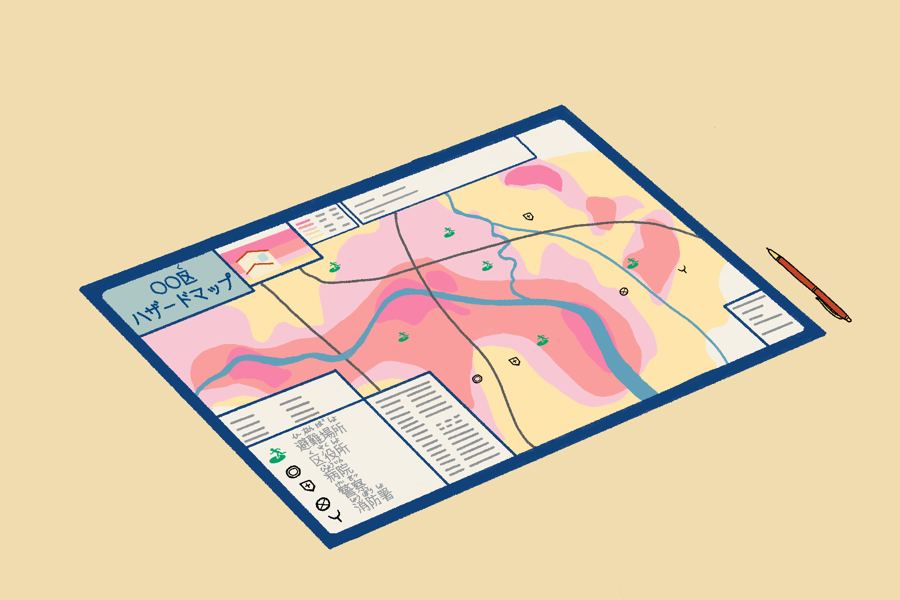
A hazard map* is a map that shows the degree of danger in the event of a disaster in the area where you live. The map shows safe and dangerous areas in different colors.
There are many types of hazard maps.
The hazard map you need depends on where you live, and the weather; for example, if there is a river near your house or a mountain behind your house.
- Flood Hazard Map.... Refer to it when it rains a lot.
- Sediment Disaster Hazard Map...Refer to it when it rains a lot, and there are mountains nearby.
- Tsunami Hazard Map...Refer to it in the event of an earthquake.
Disaster Prevention Map
Disaster prevention maps show evacuation sites/shelters. The maps show how to get to the evacuation sites, as well as the location of hospitals and government offices.
Take hazard maps and disaster prevention maps with you, and walk around the town where you live. For example, you may find that narrow streets seem difficult to walk on in the event of a disaster. You may notice slopes or high and low paths. It is a good idea to find a path that is easy to evacuate by in the event of a disaster.
Hazard maps and disaster prevention maps are available at your local municipal office. You may also view or download them from the city offices' websites.
*A hazard map and a disaster prevention map might be combined on a single map.